IIG researchers combine ground and satellite data to map India’s ionosphere more accurately
Scientists at the Indian Institute of Geomagnetism combined ground-based ionosonde readings with COSMIC satellite data to build a more accurate model of India's ionosphere.
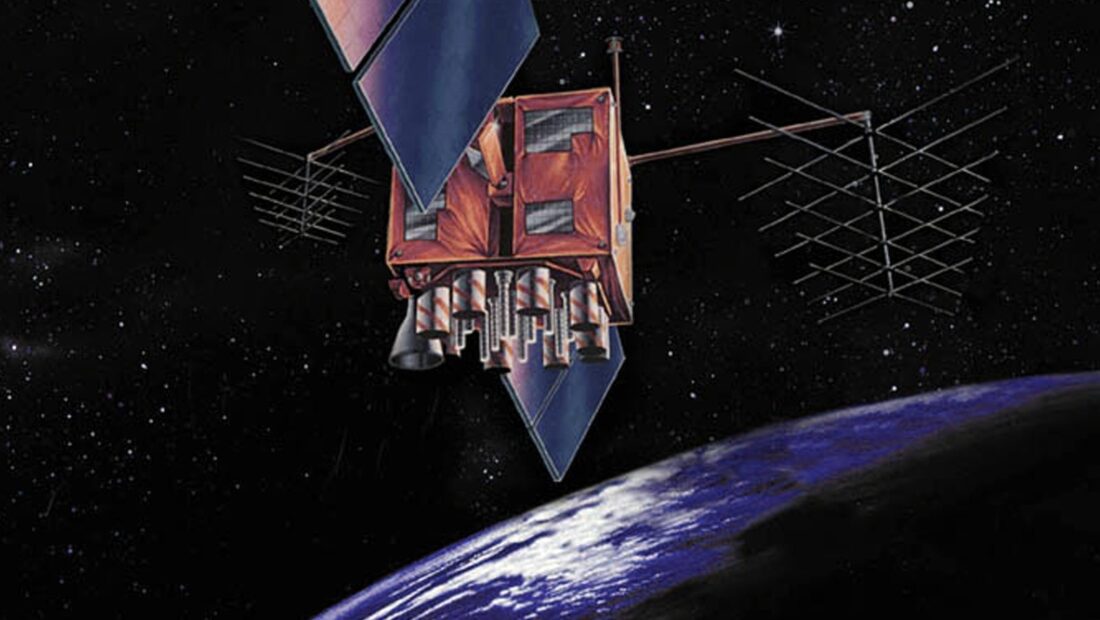
Researchers at the Indian Institute of Geomagnetism, an autonomous institute under the Department of Science and Technology, have combined observations from ground-based ionosondes with satellite measurements from the COSMIC radio occultation mission to build a more accurate model of the ionosphere over India.
The ionosphere is a layer of Earth’s upper atmosphere filled with electrically charged particles that acts as a highway for radio waves and lies along the path travelled by navigation satellite signals. Changes in the density of these particles can delay or distort signals, affecting aircraft navigation, shipping, emergency communications and everyday location services such as GPS.
Older models typically assumed the ionosphere thins out at a fixed, steady rate with height, a simplification made largely because reliable real-world data was scarce. That assumption broke down especially over India, which lies close to the geomagnetic equator, where the movement of charged particles is particularly complex. The new method instead reconstructs how charged-particle density actually changes with height over the Indian region, offering a far more realistic picture, according to the DST.
The improvement matters because most low Earth orbit satellites, including many used for communication and Earth observation, operate within roughly 1,000 kilometres of Earth, precisely the zone the new model captures more accurately. Better models here can help mission planners predict radio signal behaviour, improve satellite tracking, and make navigation systems more dependable.
The research was carried out by K Siba Kiran Guru, S Sripathi and RK Barad and published in the journal AGU Radio Science. The team says the approach could be adapted for other parts of the world to strengthen regional space weather prediction.


Leave a Reply